The country of Nepal, the country of sky-embracing mountain ranges, jungles, and living traditions, is a natural eco-tourist country. An eco tour in Nepal is a form of traveling that places the community and nature at the center stage. Rather than augmenting the others in the attraction sites, it is keen on responsible experiences that conserve the environment and sustain the people residing in it.
This in Nepal usually includes walking through untouched sceneries without footprints, staying in village homestays as opposed to big hotels, and appreciating culture in an appreciative and meaningful manner.
The country of Nepal is particularly apt for eco tours due to the stunning variety. You can travel from snow mountains to subtropics full of wildlife in a short distance. This Natural diversity is a source that attracts tourists who would like to enjoy nature and preserve it. The cultural diversity in the country is equally impressive.
There are over a hundred ethnic communities residing in Nepal, and many of them inhabit isolated areas where people still stick to their ancient ways of life. Eco tours will provide an opportunity to experience everyday life with these people, whether it is a local meal or a festival.
Nepal is focusing on sustainable tourism so that it preserves the environment and is conscious of cultural heritage and traditions being adopted, and tourism has a tangible advantage to the villagers. An eco tour, in this case, implies responsible traveling and possibly aiding in conserving the beauty of Nepal in the future.
What is eco tourism? (Concept & meaning)
Eco tourism is not just a trend in traveling. It is a conscious approach to the exploration of the world in a manner of taking care of nature and human beings that dwell near it.
Eco tourism is simply visiting the natural locations responsibly in such a way that ensures that the environment, the local community, and also provides education in the process. An eco-tour does not simply mean visiting beautiful places. It is about how you visit them.
Eco tourism promotes careful decisions, rather than concentrating on comfort or speed. This could involve staying in locally owned lodges, engaging in nature-friendly trekking methods, and getting to know your environment and culture as you enter it. Education plays a key role.
In contrast to mass tourism, which places a great emphasis on volume and profitability, eco-tourism appreciates balance. The point is easy: leave things better than you discovered them, and at least, undamaged.
Eco-tourism tries to uphold the following main principles:
- Reduce impact: Travel so as to impact the natural environment minimally, including being mindful of where one walks, taking care of the waste, and not encountering wildlife due to carelessness.
- Enhance environmental and cultural consciousness: Tracing local Biomes and cultures: experience the stories, the guides, and focus on precedent through shared experiences.
- Conservation direct benefits: Contribute to conservation by means of park, forest, and wildlife protection fees, and responsible operators.
- Bring economic gain and empowerment to locals: Guarantee the local families retain tourism income by way of guides, homestays, and local businesses.
- Provide positive experiences to both the visitor and the host: Transform considerate, fulfilling interactions that will be mutually beneficial.
Why should we use an Eco tour in Nepal?
By opting to take an eco tour in Nepal, the rewards will be much more than sightseeing. It gives you the opportunity to explore the beauty and the richness of the country. This makes you aware of the fact that if you visit, you will be contributing to the good. Nepal is an ideal destination to visit in regard to sustainable tourism due to its diverse topography, traditional society, and excellent conservation activities.
Eco tours in Nepal done here are aimed at safeguarding delicate ecosystems and empowering the local people. Every time you trek through the highlands of the village in the mountains, or on your jungle ecology can contribute to conservation and community building. This means no huge resort, mass tourism, and instead a type of slower and more respectful traveling where being connected is more important than consumption.
The model of eco tourism in Nepal also helps to build a close connection between the visitors and locals. You are not merely looking into life. You are eating, trying out adventures, and living together. This brings respect to one another and long memories.
An Eco tour in Nepal is not merely a destination, but the experience that you have in detail.
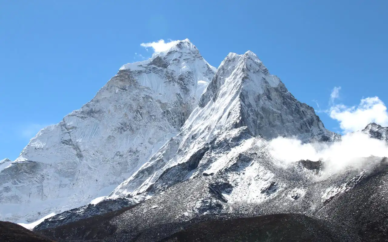
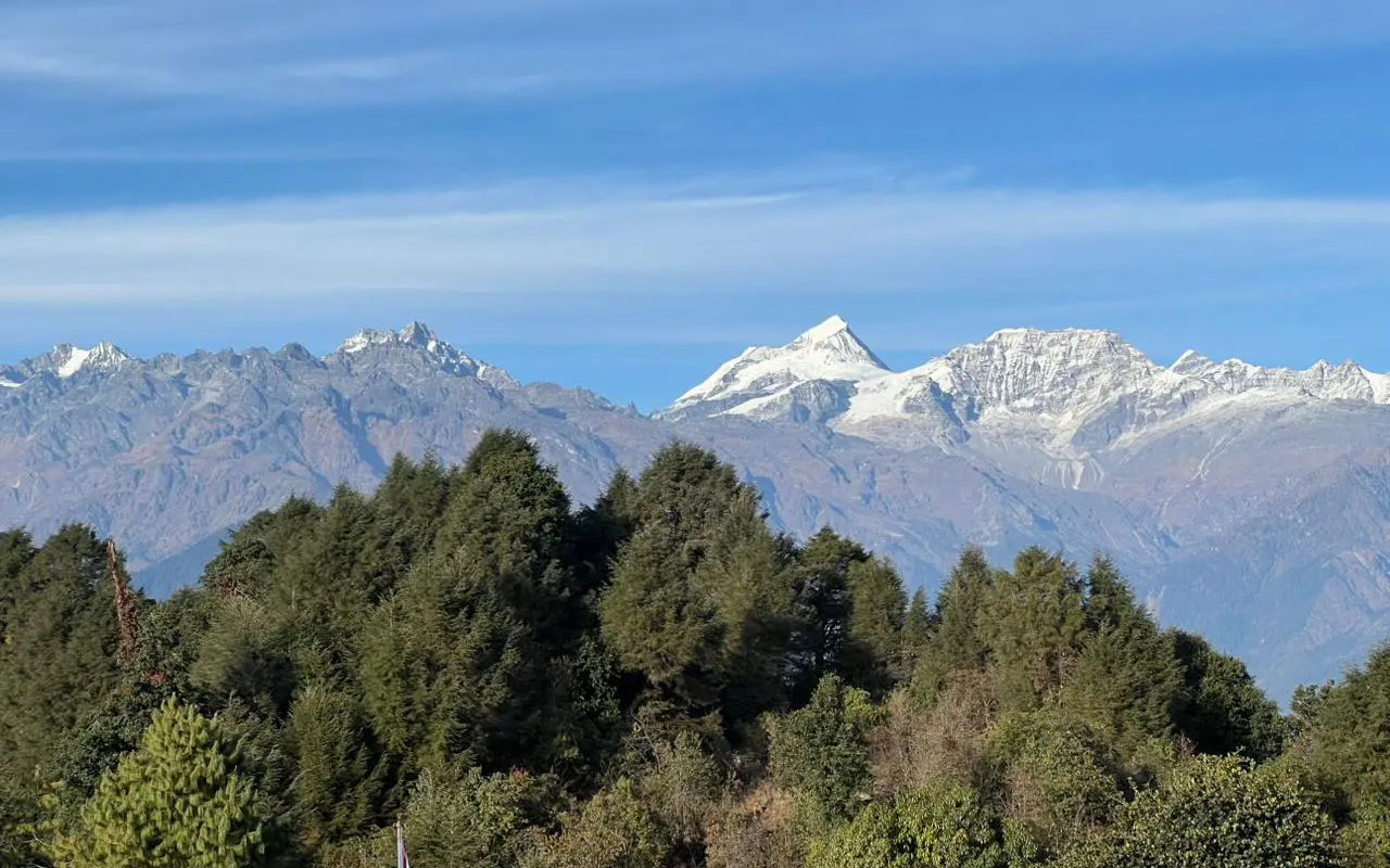
- Natural landscape and rich biodiversity: Nepal has a wide variety of ecosystems; whether it is the Himalayas or the Terai jungles, Nepal has it all, with the help of responsible tourism.
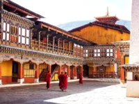
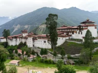
- Cultural diversity and traditional ways of living: Get to know ethnic communities that do not abandon centuries-old traditions they keep, and which are connected closely with nature.
- Support local communities: Travel on your part directly creates employment and income in comparison to local guides, homestays, and small businesses.
- Environmental conservation benefits: The park fees and eco activities contribute to the conservation of the wildlife, forest, and sensitive mountain environment.
Ultimately, an eco-tour in Nepal will see you spending the right way, leaving more than footprints.
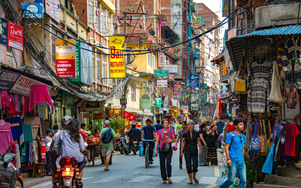
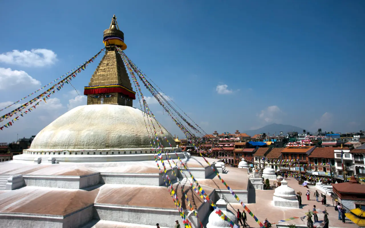
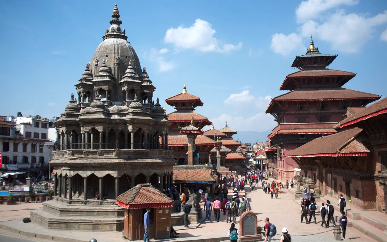
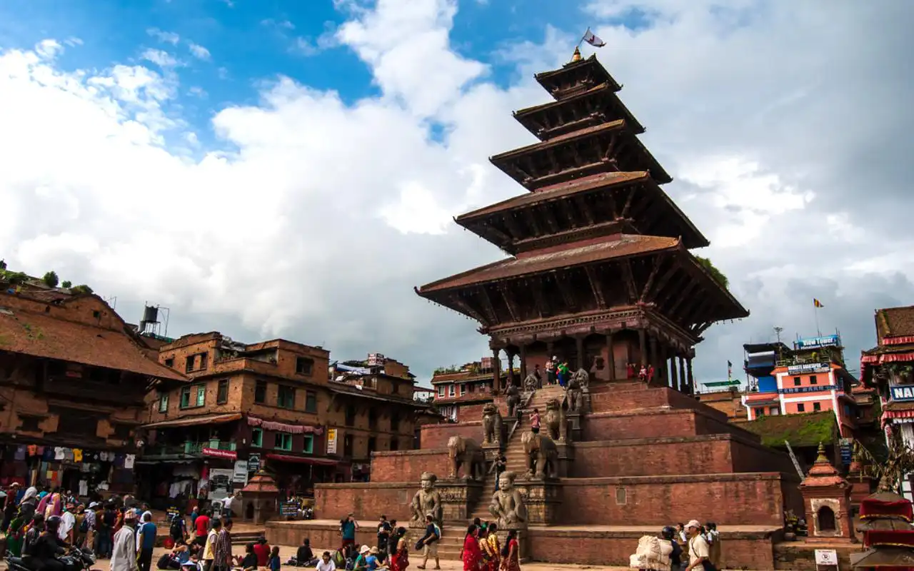
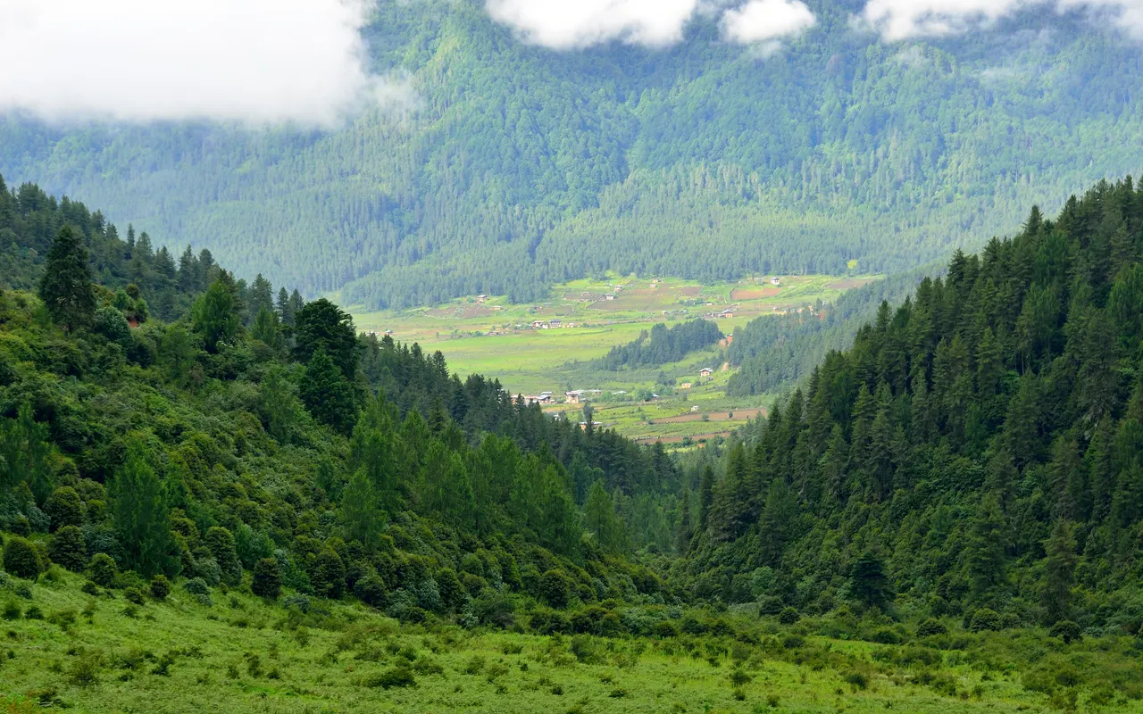
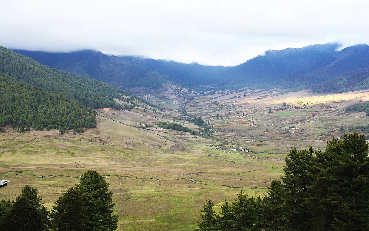
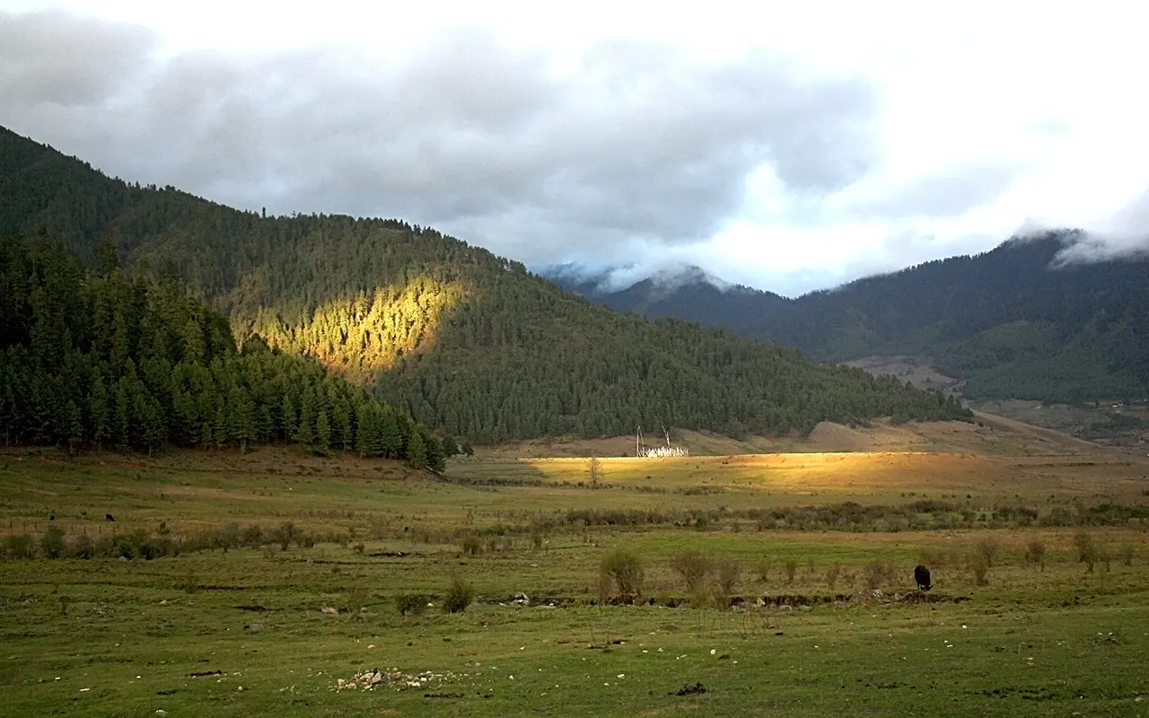
Popular Eco Tour Destinations in Nepal
Nepal has a diverse number of eco-tourism sites at which the activities of conservation of nature and community co-exist. Eco travelers can enjoy Nepal in high Himalayan trails, low-lying jungles, and rural villages quietly with their travel, one that helps the locals earn a living.
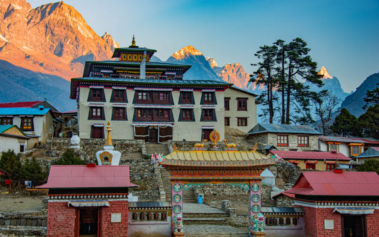
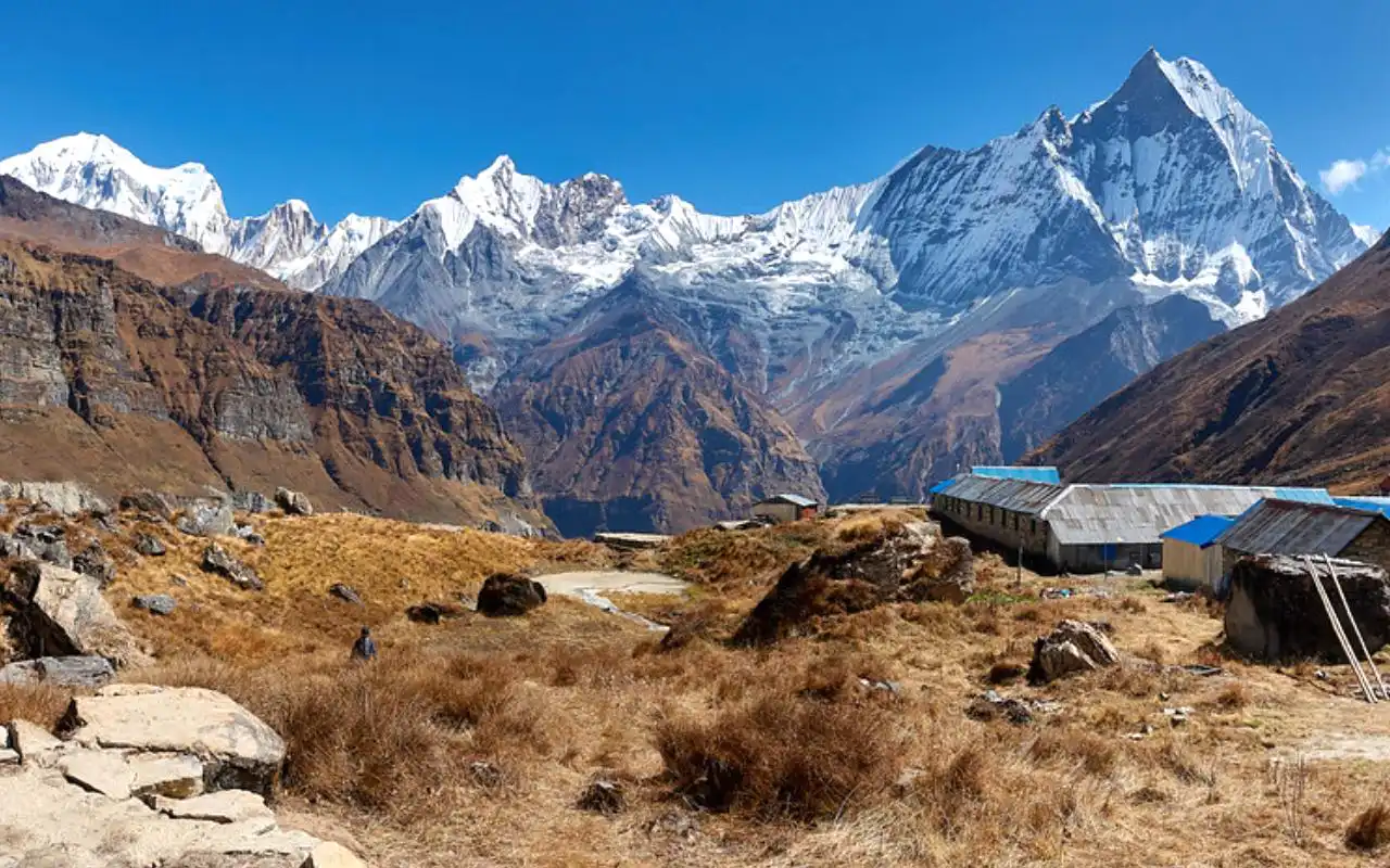
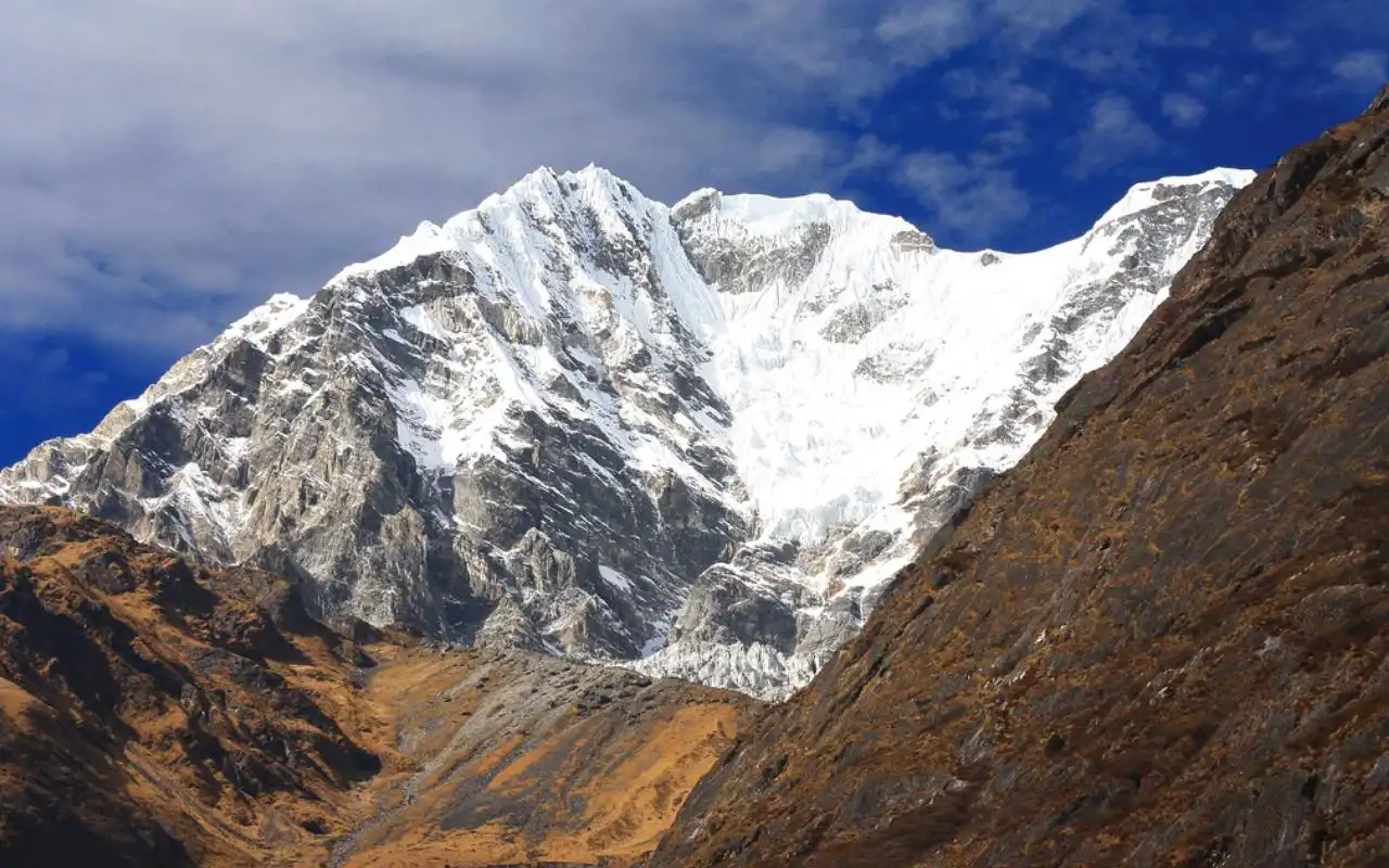
Annapurna Conservation Area
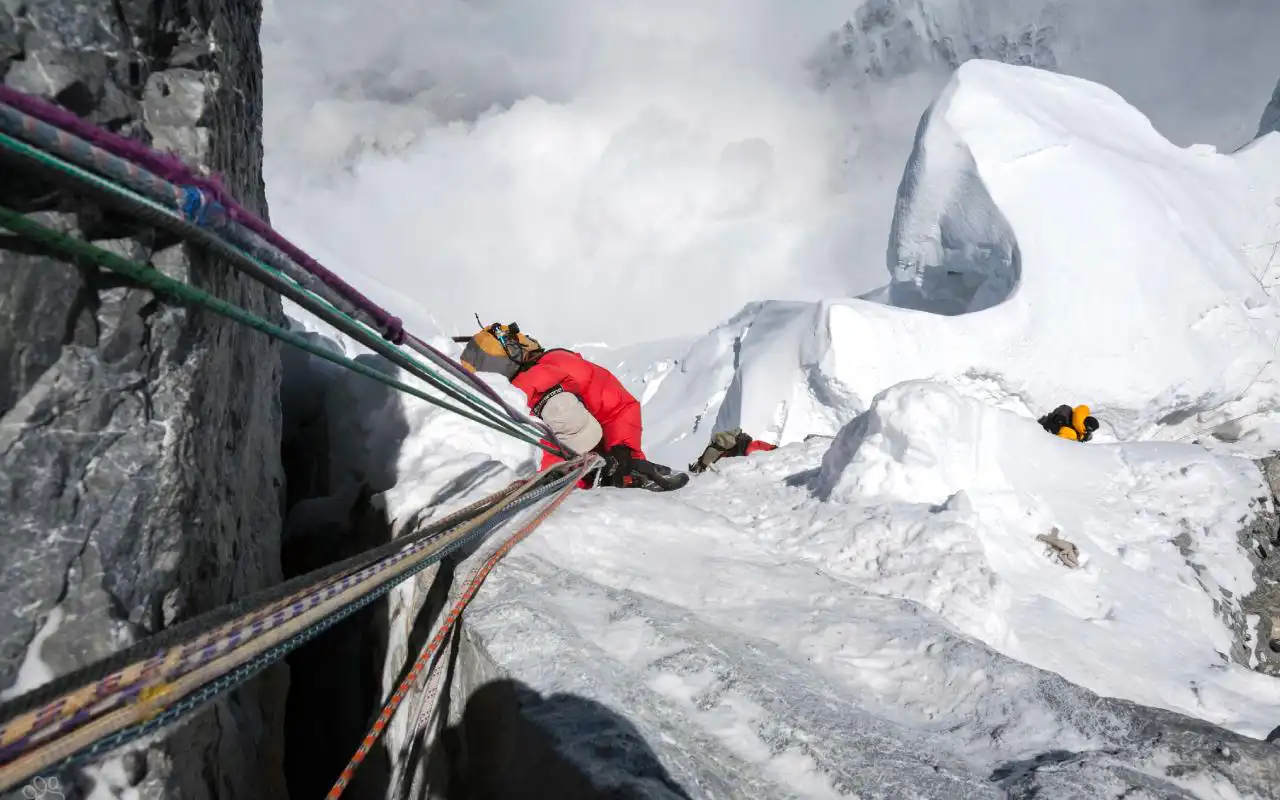
The biggest conservation area in Nepal, as well as an international testament to community-based eco-tourism, is Annapurna. Trekkers explore forests, the Alps, and the traditional villages, and spend their time in the locally managed lodges and homestays. Permit fees help in conservation, schools, clean water projects, and garbage collection; hence, tourism is a plus to people and nature.
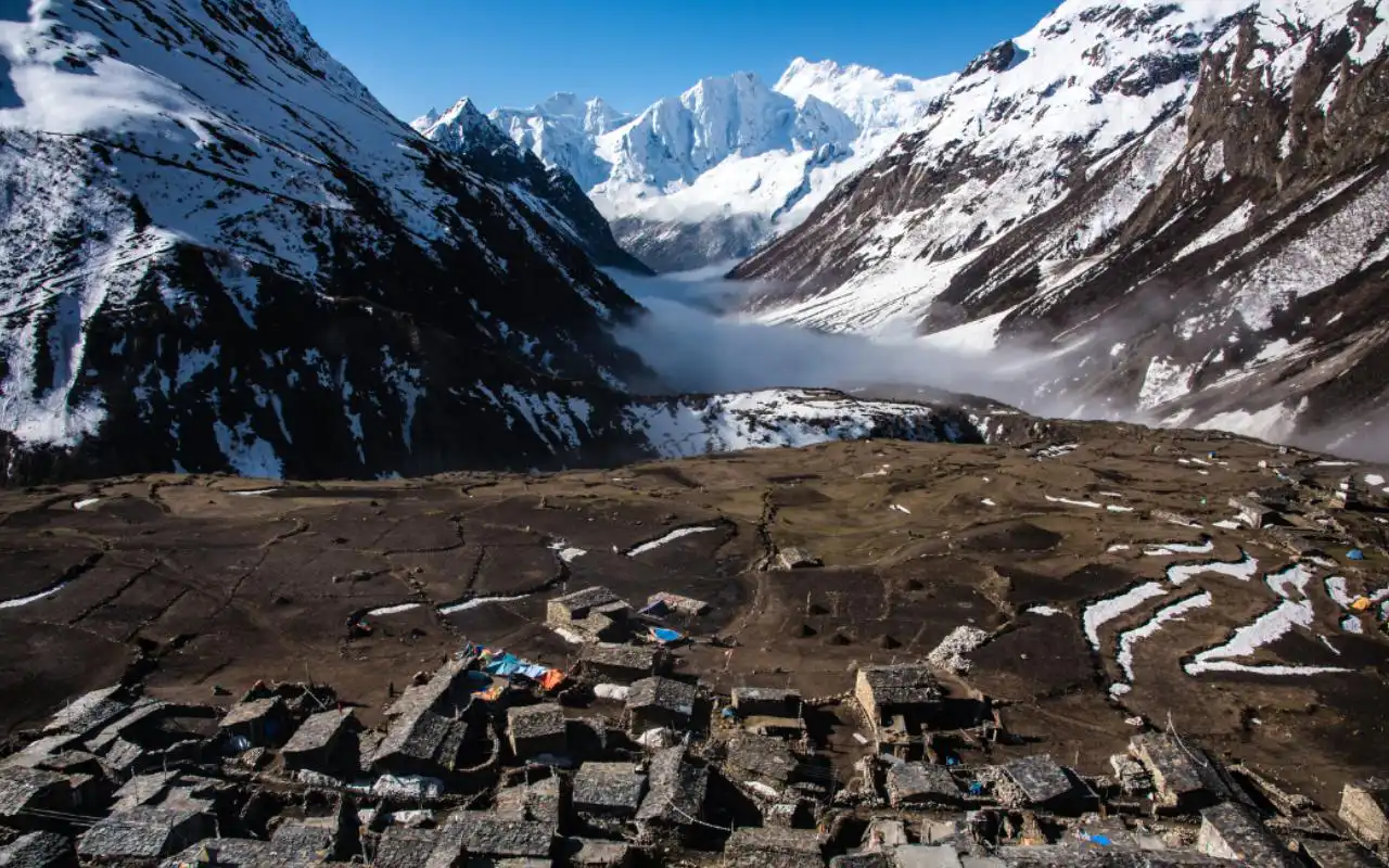
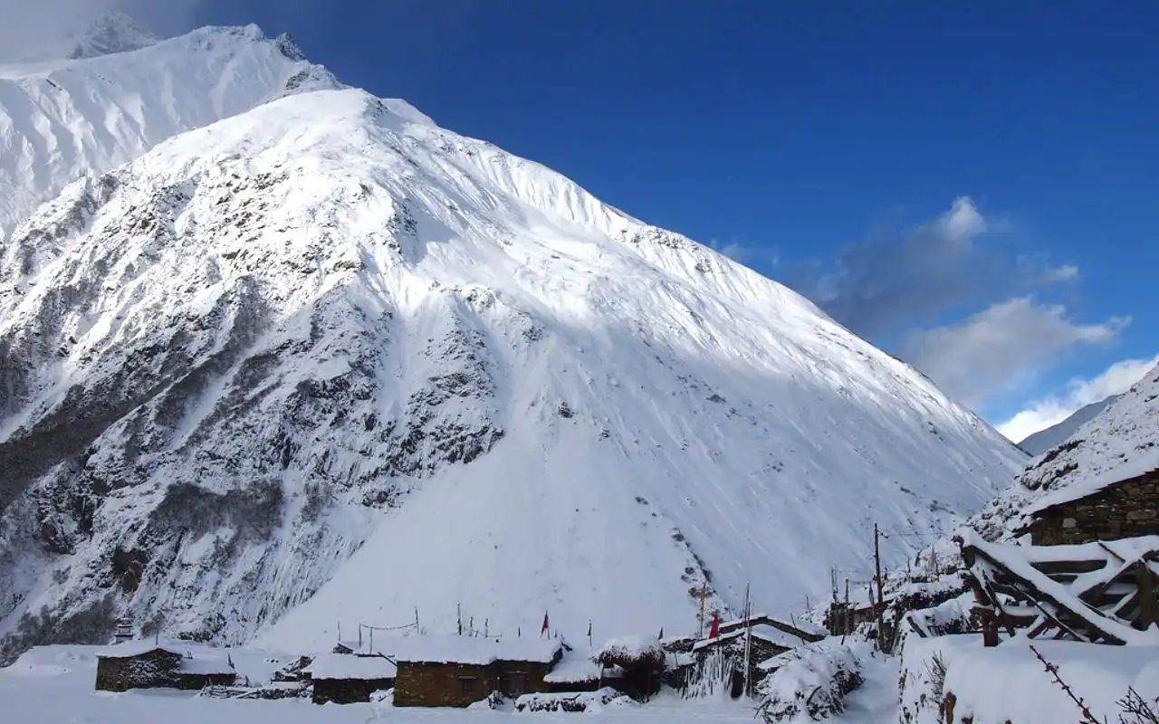
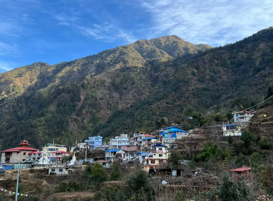
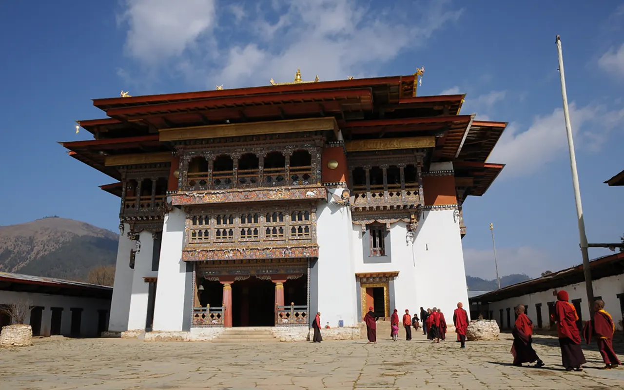
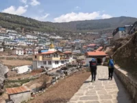
Langtang Region
Langtang is north of Kathmandu, but it is serene, allowing mountain scenery with a good cultural immersion. The Tamang Heritage Trail emphasizes homestays, traditional food, monasteries, and life in the village. The area has also been able to rebuild and recover following the earthquake of 2015 through sustainable tourism.
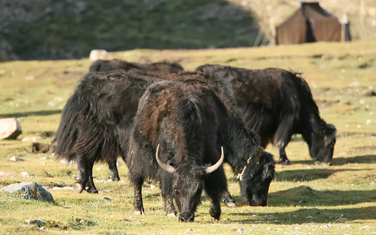
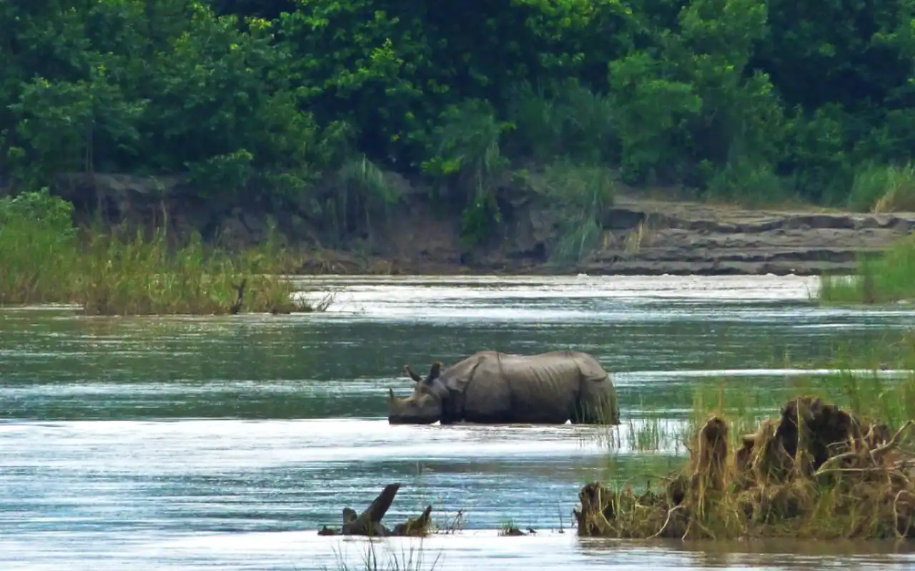
Chitwan National Park
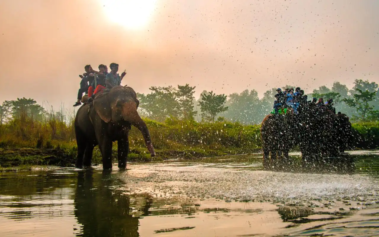
One of the most popular eco tourism attraction sites in Nepal is Chitwan. The responsible safaris, jungle walks, and canoe rides are conservation-oriented, involving the local people, the Tharu, through the homestays and cultural programs.
Bardia National Park
Bardia is more secluded and peaceful in the jungle. Community homestays, small-group safaris, and walking tours offer in-depth wildlife experiences, as well as boost the strength of the local villages.
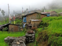
Rural Villages & Homestays
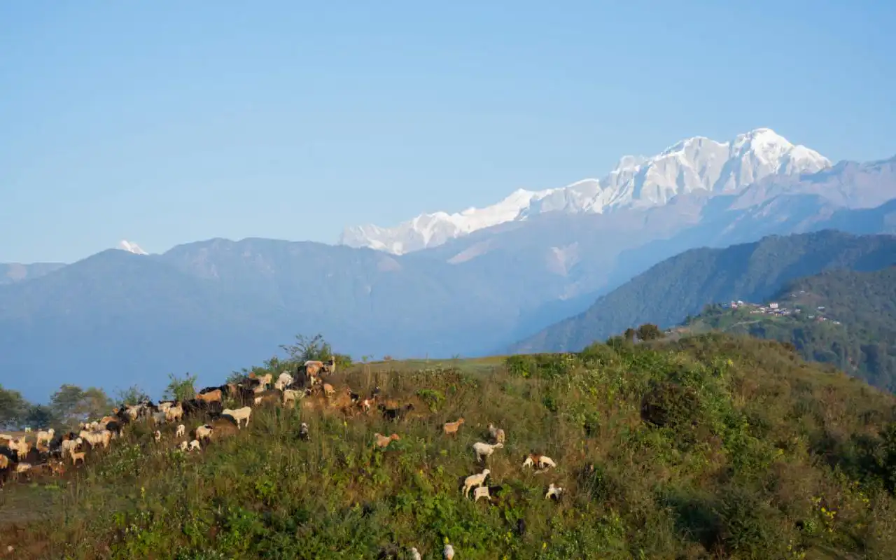
Sirubari and Ghalegaun are two examples of village tourism that allow one to taste the real life of a rural setting. Homestays distribute revenue, save culture, and facilitate low-impact and sustainable travel throughout Nepal.
Eco-Friendly Activities in Nepal
The activity involved in an eco tour in Nepal makes it one of the best. Rather than inactive tourism, you are involved in activities that are eco-friendly to nature and promote local populations.
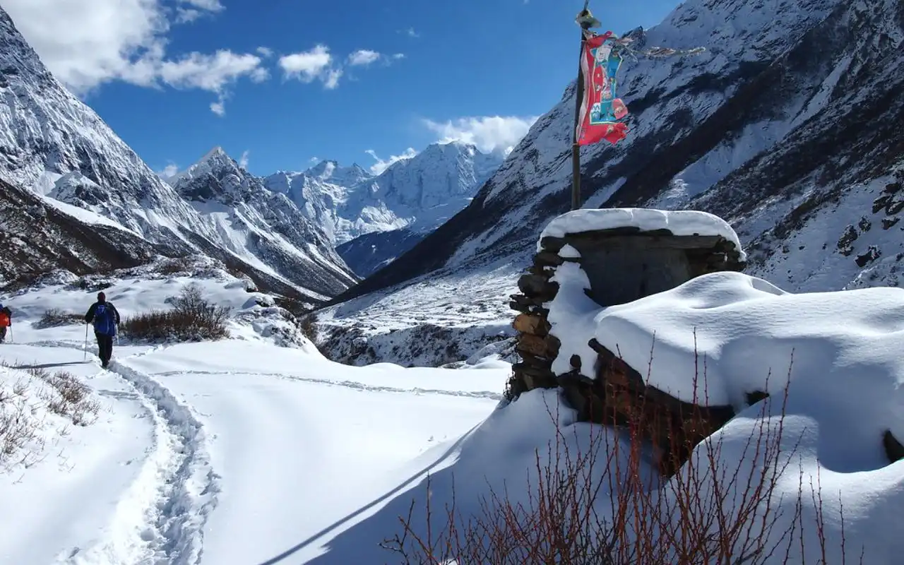
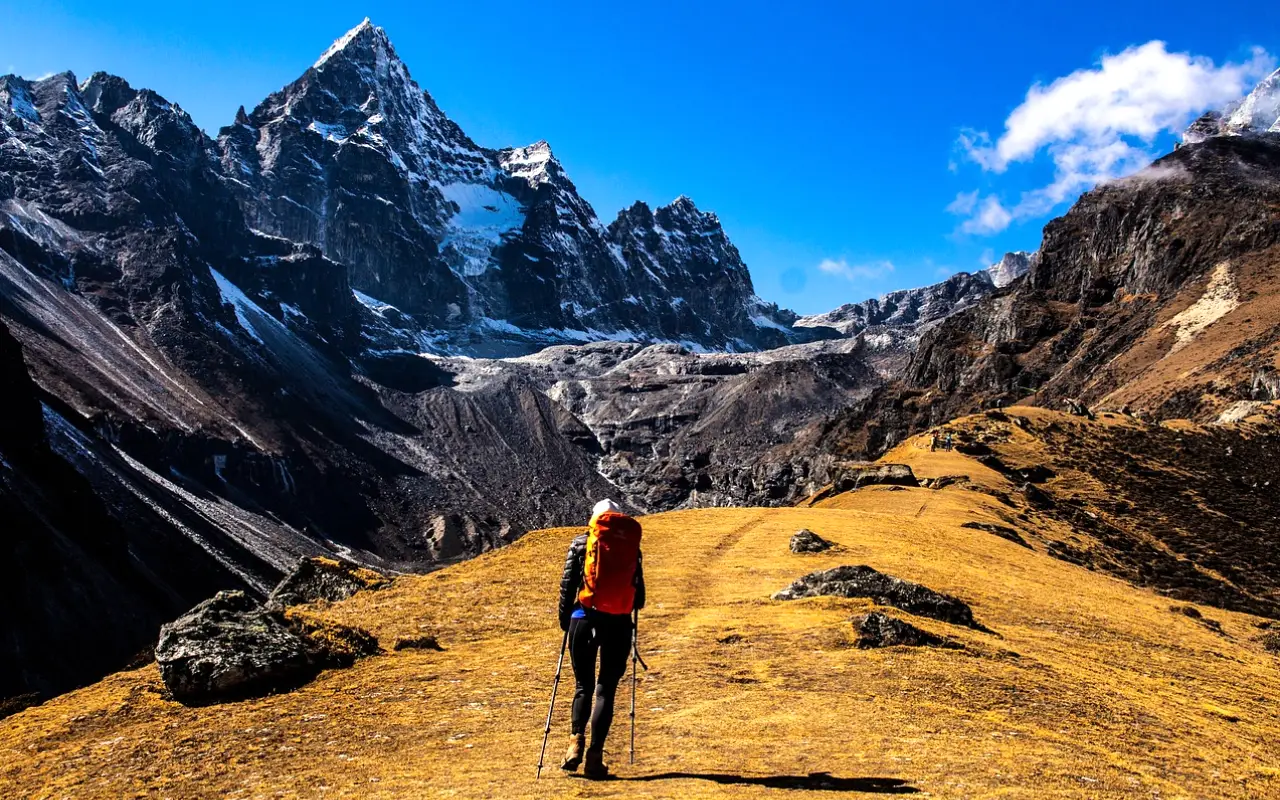
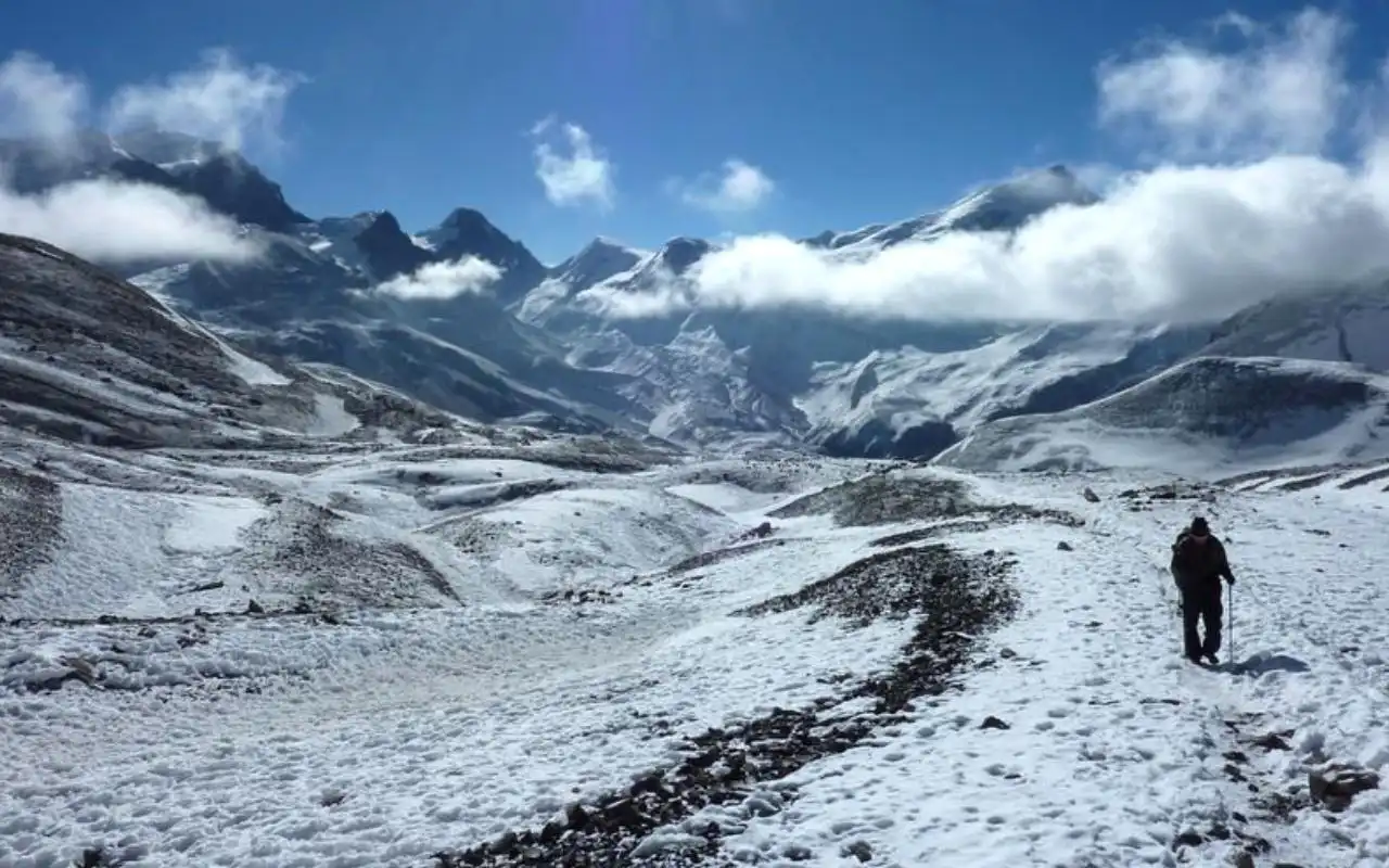
- Eco Trekking and Hiking: Responsible trekking refers to following trails, not using plastic waste, staying in sustainable teahouses, and having small groups. Environmentally friendly tours encourage the use of reusable water containers, solar energy, and local guides. This type of mountain tour is meaningful and gratifying.
- Homestay programmes in the community: The Level of cultural immersion is important in village homestays. You eat with families and assist them with their daily chores, you learn local cooking, and you can attend cultural events. The direct impact of your stay is brought to households and the preservation of traditions.
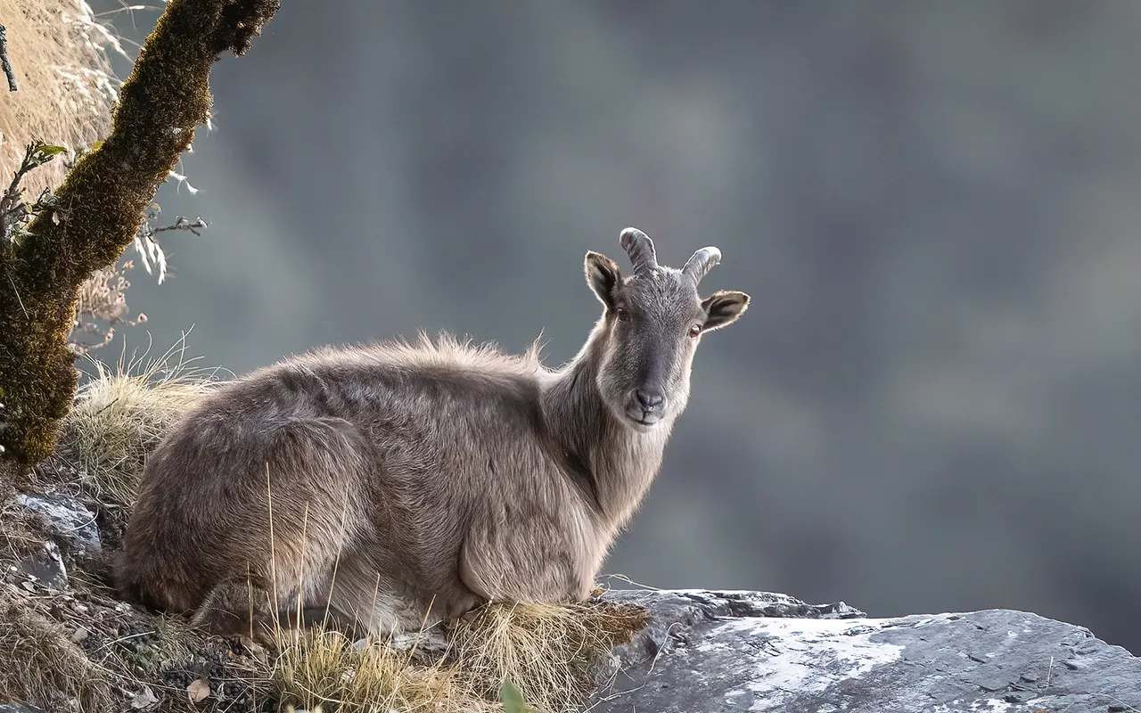
- Wildlife viewing and bird watching: Guided walks, Jeep safari, Canoe Ride, in the forests such as Chitwan and Bardia are dedicated towards ethically responsible viewing of wildlife. The practice of bird watching in wetlands, forests, and hills is particularly low-impact learning and educational.
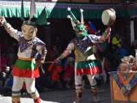
- Cultural exchange programs: These involve monastery stay, village volunteering, cooking classes, weaving classes, and evenings of storytelling, which promote true cultural exchange.
Agro-tourism and village tours: When you visit farms, tea gardens, coffee plantations, and orchards, you get to experience the agricultural life of Nepal and, at the same time, ensure sustainable farming.
The combination of these activities results in a meaningful, intimate, and strongly Nepalese travel.
Best Time for Eco Tour in Nepal
The climate of Nepal varies radically according to the altitude, and therefore, the season of your eco tour activities is what you are planning. Both seasons present different activities to nature enthusiasts and environmentally conscious visitors.
Spring season (March -May): The spring is lively and vibrant. Hills and hiking paths are covered with rhododendrons, forests are fresh, and wildlife becomes more active. In hills and mountains, it has moderate temperatures and hence a good season to go eco trekking and visit birds. Cultural festivals such as the Holi and Nepali New Year enhance the trip.
Autumn season (September-November): Autumn (September–November) is the most popular time of the year when people go on eco-tours. It is trekking and sightseeing because of the clear skies, good weather, and clear mountain views. Principal festivals such as Dashain and Tihar are more deeply cultural, but just in time trails are more popular.
Unique eco travel off-season: jungle safaris and quiet hikes (low altitude) are best in the winter (December-February) and rain-shadow areas and green havens in the monsoon (June-August). Off-season travel reduces crowding and enables the locals to earn a living throughout the year.
Altogether, eco-tourism does not have a bad season in Nepal. The optimal time is relative to your interests, speed, and the type of experience that you would want.
How Eco-tourism Benefits Local Communities
Eco-tourism in Nepal brings benefits to the local communities besides providing benefits via meaningful traveling.
Employment: It generates guides, porters, cooks, and hosts for the homestay. A locally owned project has the advantage of keeping income inside the community, which enables families to afford education, healthcare, and home improvements. In walking areas such as Annapurna, tourism part of a living for many.
Women’s empowerment: Income and confidence through the homestays and community tourism support women’s empowerment. They take care of reservations, prepare dishes, sell goods, and occasionally take the role of a guide. The money earned usually finances the education of children and the well-being of the family, which could slowly alter traditional functions.
Preservation of culture: Tourism also helps in preserving cultural practices among societies, such as dances, festivals, and handicrafts. The museums and cultural centers established through tourism funding assist in maintaining a pure heritage.
Local economy: Local products have their markets enforced through eco-tourism, including honey, tea, and farm produce. When properly managed, it will alleviate poverty, empower women, sustain culture, and ensure the boosting of economies, such that every visit will be a valuable input.
Environmental Impact of Eco-tours
Eco-tours in Nepal strive to do little harm and may do better for the environment.
- Decreasing carbon footprint: Trekking, walking, cycling, and paddling will substitute vehicles and ensure a low emission level. Solar panels, biogas, and better cookstoves are being used by many lodges. Carbon is further reduced by slow travel, vegetarian meals, and public transport. Tourists can also contribute to planting trees or cancel flights.
- Waste management: Eco-tours promote pack in, pack out. Overuse of single-use plastics by means of bans, reusable water bottles, and refill stations minimizes litter. Trekkers can also bring along trash bags that are very small, engage in cleaning activities, and contribute to composting and recycling activities within the villages.
- Conservation awareness: Guides teach the wildlife, endangered species, climate change, and conservation initiatives in the locality to the traveler. Tourists tend to exchange information and go green in their home countries.
Eco-tours will achieve this by maintaining the environment of Nepal through low-impact travel, minimizing waste, using renewable energy, and educating people about the environment, encouraging people to establish a culture of environmental care.
How to plan an eco-tour in Nepal?
In Nepal, planning an eco-tour can be challenging, but it is highly rewarding. The first step would be to select a responsible tour operator or trekking agency. Raise the point of sustainability policy, treatment of guides and porters fairly, utilization of eco lodges, and the community. The locally owned agencies tend to guarantee better local benefits to villages.
The accommodation decisions are important. Use homestays, teahouses, or eco-lodges which are powered by the sun, composting, or by a low consumption of energy. Little guesthouses found in urban areas are preferable compared to large resorts, which are green. The use of camping must be environmentally friendly: one should not chop firewood, carry portable toilets, or pick up all waste.
The other issue is transportation. Prefer walking, cycling, trekking, or transport. It should never be used to take up helicopter flights unless there is some emergency, and the use of overland routes is needed in order to cut down the carbon emissions. Hitchhiking and using slow travel are also beneficial.
Lastly, comply with the following permits and local regulations. Conservation and protection of wildlife involve targeting TIMS cards, park permits, and community rules. Show respect to signs, dress, and policies on trash disposal.
You can be mindful of your footprint by making well-thought-out and considered decisions, which will enable you to be a sustainable tourist enjoying Nepal.
Eco Travel Tips for Visitors
Environmentally-friendly traveling in Nepal is primarily concerned with behavior. Begin by being respectful towards local culture and practices. Get to know some of the Nepali expressions, such as “Namaste,” dress simply, use shoes where they are not allowed, and ask people before you take their photos. Strictly adhere to the local etiquette concerning religious places and village conventions to demonstrate respect and build goodwill.
Reduce plastic use. Always come with reusable water bottles, purification solutions, single-use cups and bags, and always bring your toiletries. Minimize your impact at lodges or cafes. Refill bottles when at the lodge or cafes and pack out any trash you produce.
Other things to support local businesses include staying in family-owned lodges, dining in local restaurants, and purchasing handicrafts directly from the artisans. Get the local guides and use the Nepali travel agencies, and make your money work towards the community.
Adhere to the rules of leave no trace, follow trails, do not pick the vegetation, as well as disturb a creature, use a toilet where possible, and take away the trash. Remember to keep the noise to a minimum and do not take any plant, wildlife, or cultural artifacts.
The practices are designed to conserve the environment and culture of Nepal and add more flavor to your experience during the trip, which creates a positive experience among both the locals and the visitors.
Nepal Eco Tour vs Traditional Tour
Sustainability and Impact: Eco-tours reduce environmental degradation and help in the empowerment of the local communities, whilst traditional tours tend to emphasize comfort and speed.
An example is hiking to the lower trailheads, accommodation in solar-powered lodges, local food consumption, and participation in conservation efforts, all of which help lower the carbon footprint and positively impact villagers.
Experience and Engagement: Conventional tours are structured and lack interaction with local people. The eco-tours move at a slower pace, and they provide homestays, attend festivals, cook with locals, and volunteer. Tourists receive a better cultural understanding and experience.
Cost and Value: Eco-tours are often affordable, and sometimes it is cheaper than the traditional touring experience, and the money that is usually paid directly to guides, families, and conservation projects is the true value at a low price.
Long-Term Benefits: Eco-tourism conserves the environment and culture, making tourism sustainable. Visitors also go home with more experiences, and classical tourism may go to lengths of overstraining facilities and undermining authenticity.
Eco-tours in Nepal offer meaningful activities, sustainability, and fostering of the local community, therefore making them a better alternative that should be adopted by the travelers who wish to witness how the country survives.
Eco-tourism challenges in Nepal
The eco-tourism in Nepal is facing a number of challenges, even though it has potential. Poor roads, electricity, inconsistent communication, and insufficient healthcare in remote parts of these nations are limitations to infrastructure, which make it challenging to deliver comfortable and environmentally friendly experiences.
Another problem is the awareness of tourists; most of them do not follow the principles of eco-tourism, litter, or the desire to respect local culture, which in turn needs constant education and qualified guiding services.
Finding a balance between tourism and planned conservation is a fine task- congestion, trail destruction, deforestation, and wildlife disruption need to be controlled as the local income would need to be sustained.
The environment and weather patterns are also hazardous, like climate change, landslides, floods, and earthquakes, which present a threat to trails, heritage sites, and visitor safety, and require robust planning.
There are also barriers related to the economy and marketing; most treks and homestays are in communities and are not promoted, and tend to be hard to lure visitors during lean times, such as pandemics.
These problems can only be solved by the government, the community, the responsible traveler, and investment in sustainable infrastructure. Nevertheless, the eco-tourism in Nepal is changing with challenges, with innovation, and dedicated partnerships with the objective of realizing a sustainable future.
Future of Eco Tourism in Nepal
The future of eco-tourism in Nepal is a bright one because of the favorable government policies, empowerment of the community, and innovation. Environmental regulations, sustainable village tourism, carrying-capacity limits, and incentives for green businesses are government initiatives.
There is increasing community participation whereby local villagers are running homestays, guiding, and marketing with the majority of the women-led or youth-based ventures. Eco experiences are becoming more diversified than trekking to agro-tourism, wellness retreats, spiritual journeys, adventure sports, and cultural workshops.
The integration of technology will make the marketing, control, and monitoring of ecotourism, including apps, previews in VR, online booking, and GIS-controlled trails, accessible and maintain the human aspect as the fundamental one. Low-carbon treks, renewable-energy lodges, seasonal changes, and carbon offset programs will be steered by climate resiliency.
New locations such as Karnali, Rara, Dolpo, and Makalu-Barun will be developed sustainably, and international partnerships with such organizations as WWF and UNESCO will be involved in conservation-based tourism. The trends equip Nepal to be equipped to provide meaningful, responsible travelling experiences that see communities and nature flourish with tourism.
Conclusion
Eco tourism in Nepal is not just sightseeing, but is responsible and meaningful traveling. When you opt to do an eco tour in Nepal, you will not only be helping in conservation and empowering local communities, preserving culture, but also having a wonderful time of trekking, wildlife, and village life.
Your trip will have a direct impact on national parks, rural people, and the environmental initiatives that will impact positively, even as you go back home.
As difficult as this may seem, the collaboration between governments, communities, travel operators, and travelers can guarantee a successful, robust tourism model. Utilize homestays, employ local guides, and promote sustainability.
In Nepal, eco-tourism relates you not only to nature and culture, but to the purpose, and hence your travel not only to Nepal but to generations to come can have an enduring impact.
FAQs
Is Nepal’s eco-tourism costly?
Eco-tourism is generally affordable, and homestays and local guides can be cheaper than regular tours, but more specific experiences are expensive.
Do families fit well in eco-tours?
Yes, eco tours are suitable for family activities that can be enjoyed by children and elderly members as they get to explore nature, culture, and village life.
What can tourists do to help with eco-tourism?
Eco tourists can also contribute towards conserving the environment by selecting good operators, observing the locals, and giving back to the local societies, as well as embracing sustainability.
Is eco tourism safe in Nepal?
Of course, eco tourism is safe, but with the appropriate preparation, guides, and obedience to the rules of the locals, tourists can have a secure experience in the village, trends, and wildlife.