Bhutan is a peaceful Himalayan kingdom that is characterised by festivals, ancient monasteries, colourful landscapes, and a beautiful atmosphere. It is important to make a correct decision on the best time to visit Bhutan due to the fact that the weather varies considerably throughout the year.
Every season features a new experience of travelling, with its mountain views and flowers in blossom, and cultural holidays and snow-covered winters. This monthly travel guide will help you realise what to anticipate in each season to be able to prepare the best trip.
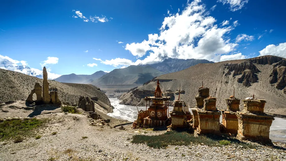
Bhutan’s climate is largely determined by season and elevation. There are months of sun, blue skies and air, and those when downpour comes and fills all the gullies.
Some of the reasons why travellers visit Bhutan are to do trekking, sightsee, take photos, fish, and attend local festivals known as Tshechus. Depending on the things you wish to engage in, the most appropriate time may vary. Knowing the timestamps of weather, temperature, and the festival seasons will enable you to make the right choice depending on your interests.
This guide will take you through the months one by one in clear and easy-to-understand language that will help you make your decision when to make the memorable trip to Bhutan.
January
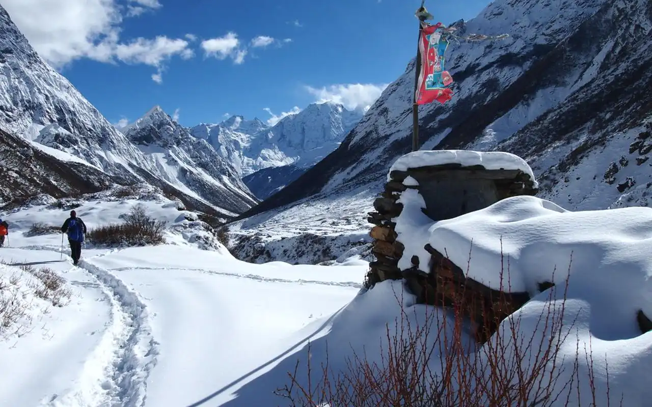
It is deep winter in Bhutan in January. The climate is arid and chilly, and most of the days have clear blue skies. In high mountainous regions, snow is present, and in low valleys, it is sunny but cold. During the day, Thimphu and Paro are cool, although nights regularly drop below freezing point. Punakha Valley is warmer; thus, it is more comfortable in the daytime. Even better is Southern Bhutan, which is a good getaway from the cold.

It is quiet and peaceful in January, as there are no large national festivals. There are some minor local religious ceremonies that allow the visitor the opportunity to observe the basic village customs in small groups.
The month is the most appropriate to explore lower regions such as Punakha, Wangdue, and the southern national parks. The mountainous view is amazing and can be photographed in the clear air.
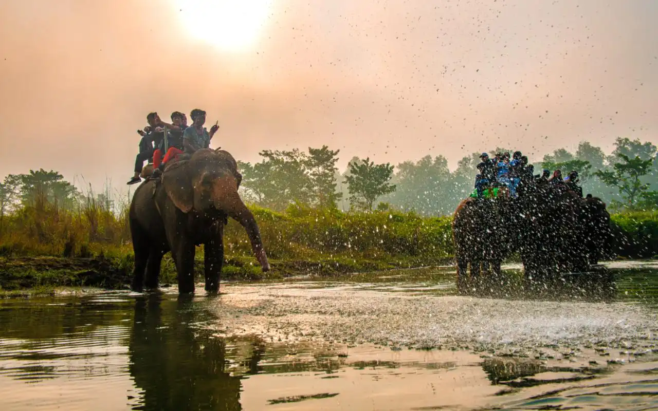
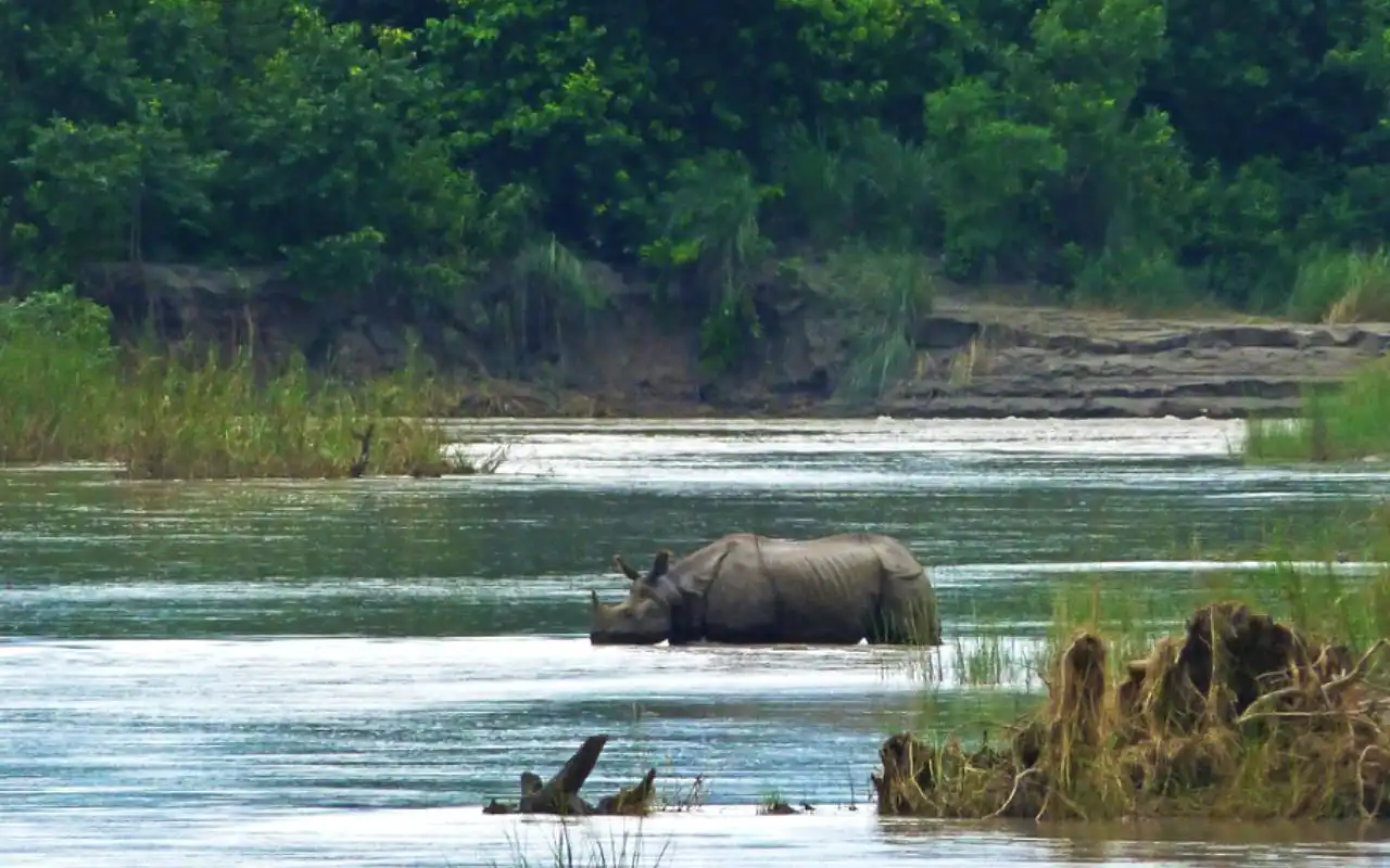
Wildlife tours in Royal Manas National Park are good in the sense that animals move about during the colder seasons. Light hiking, bird watching in Phobjikha Valley, and cultural sightseeing are pleasant. Evening is too chilly, thus spending time in a hotel and enjoying a traditional hot stone bath is an ideal winter adventure.
February
It is still winter, but the weather is gradually becomingwarmer in February. Days are sunnier, and the cold is not as harsh as in January, particularly in lower valleys. Even now, it is cold at night in such areas as Thimphu and Paro, whereas Punakha and southern Bhutan are pleasant in the daytime. There is no cloudy weather, and so the mountain views are beautiful.
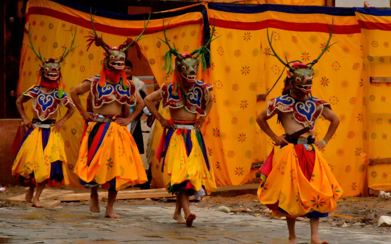
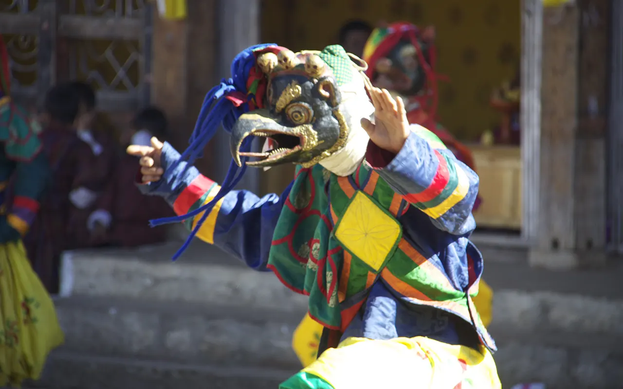
It is the time of the festival season. Punakha has significant festivals such as Punakha Drubchen and Punakha Tshechu, during which the masked dances of the monks and the locals are held. Such festivals are not overcrowded or too colourful. It is also during this period that the families observe the Losar, the Lunar New Year, when they feast and pray.
Punakha is the most suitable place to visit during the month of February due to the warm climate and celebrations. In Paro and Thimphu, cultural tourism is comfortable. The climb to the Nest Monastery of Tiger can also be done, but it is still cool. Phobjikha Valley can be used to view black-necked cranes before they go. Sightseeing with short and low-altitude walks and village walks is also good.
A combination of culture, scenery, and serene travellingis available during February, and the spring season is yet to start the rush.
March
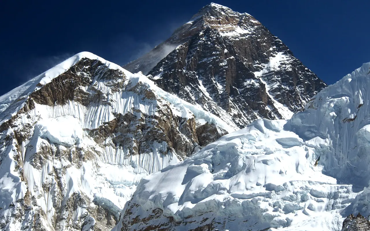
Bhutan’s winter ends in March and spring begins. The climate warms up, and nature starts to blossom. It is still cold at the beginning of March, yet in the middle of the month, the weather is pleasant and sunny during the day. The valleys such as Punakha are warm, whereas the valleys such as Paro and Thimphu have clean air. The skies are mostly clear with excellent mountain scenery.
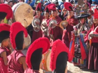
It is a season of vibrant festivals. One of the largest religious festivals in Bhutan is known as Paro Tschechu which is usually held in March. The sacred mask dances are done by monks, and the locals come together in traditional attire. It is a vivid and religious festival, and various tourists take pleasure in it.
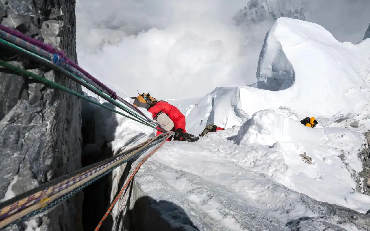
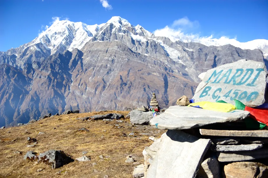
It is also the start of the trekking season in March. The trails become parched, and the rhododendron in the hills begins to bloom. Demandingtreks and day hikes are once more available. In Thimphu, Paro, and Punakha, the cultural tours are comfortable during the mild weather. Birdwatching is also good because the migratory birds pass through the valleys.
March is a perfect season with good weather, natural beauty, and rich culture.
April
April is also one of the months when one should visit Bhutan. It is the month of spring, and it is hot in the daytime and cool at night. The air is normally clear, particularly at the beginning of the month, thus mountain views are bright and clear. The valleys are green, and flowers are on the hillsides.
In April, festivals are typical. This month is sometimes during which Paro Tshechu is celebrated with big mask dances and religious ceremonies. Another event is the Rhododendron Festival, which is the festival of the colourful spring flowers of Bhutan, accompanied by music, food, activities, and nature walks.
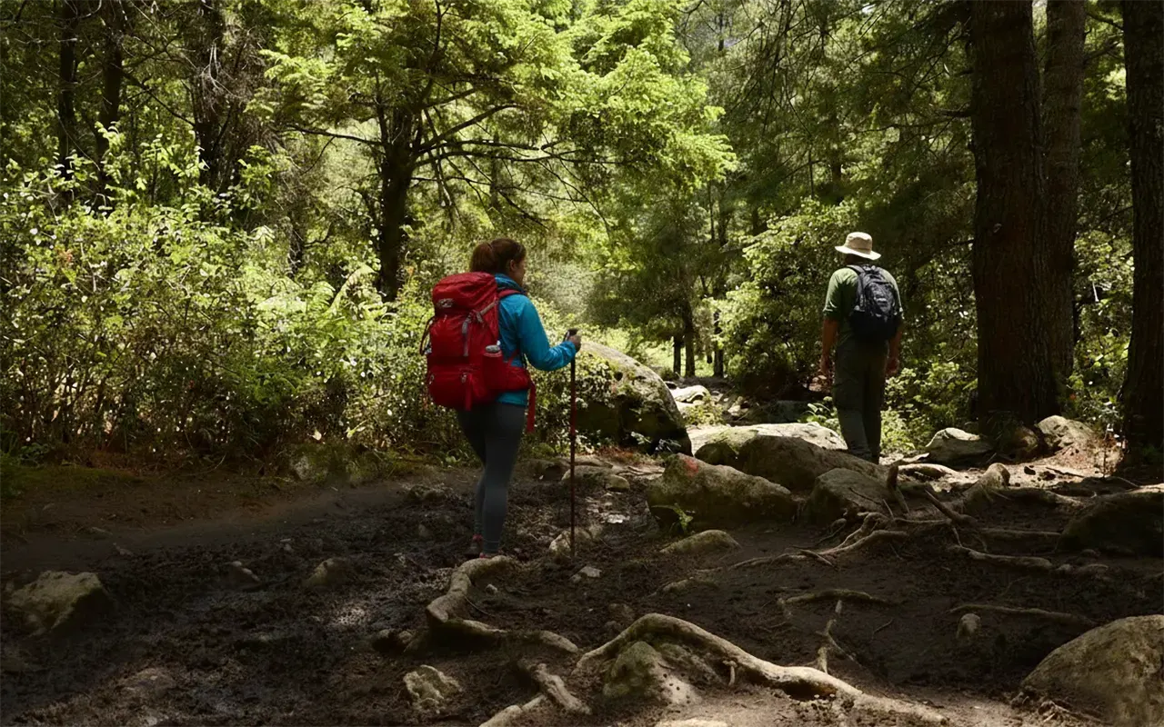
The travel conditions in the country are excellent everywhere. The roads are clear, and the trekking paths are in excellent shape. The best months to visit are in April, when one can engage in trekking, hiking, bicycle riding and sightseeing. It is not hard to get to popular destinations such as Paro, Thimphu, Punakha, Bumthang, and even eastern Bhutan.
This is the favourite period of photographers who deal with landscapes and cultures. The only disadvantage is that it is a peak season, hence it is essential to plan. All in all, April promises to be ideal in terms of weather, nature, and cultural life.
May
It is late spring in May and approaches the rainy season. The beginning of the month remains hot and mostly sunny; however, in the latter part of the day, it gets more humid and is occasionally accompanied by rain. It gets hot, particularly in Punakha and the southern Bhutan. The mountain views are also clear in the mornings, but can be obscured by clouds later.
Big festivals are not as numerous, and May is less tense. Other religious rituals and local customs are still practised in monasteries and villages in silence.
Nature appears to be so green due to early rains. Landscapes are clean, and waterfalls are more powerful. The season is still pleasant in early May, though later on the trails may turn muddy.
Cultural touring in Paro, Thimphu, and Bumthang is still good with fewer tourists. Visiting villages, observing everyday life, including farming activities are also a good time. The South has wildlife parks that are active yet warm and moist. May suits are for those who like greenery and peaceful travelling before the onset of heavy monsoon rains.
June
The monsoon season starts in June in Bhutan. It is followed by very common rain, particularly during afternoons and evenings. It is a warm and humid climate, especially in the lower valleys and the south. There are frequently cloudy skies, and mountain vistas are not very common. Nevertheless, the rural setting is extremely green and natural, and the rice fields are sparkling, with forests alive.
Local religious events are also held in central Bhutan, with only a couple of festivals. These minor festivals are non-crowded and are mainly attended by the locals.
June needs flexibility as far as travel is concerned. The roads are often muddy, and travel may be delayed due to heavy rain. Trekking is discouraged since the paths are very slippery and there is not much scenery.
Nevertheless, at times, between rain, it is possible to do cultural sightseeing in some of the towns, such as Paro and Thimphu. It is not a bad idea to visit monasteries, museums, and markets. When it is lightly raining over valleys, nature can be magical because of the mist and the fresh air.
The time in June is not busy, and the number of tourists is minimal, which is why it is the time when the person prefers to be alone and realise the beauty of the surrounding world despite the downpour.
July
The monsoon in Bhutan occurs in July. It is the most humid and wet month of the year. Rain is abundant, and it may also take hours or even days. The roads are likely to be muddy, rivers full, and mountain scenes generally concealed under clouds and mist. Temperatures stay warm. Thimphu and Paro are mild and humid, whereas Punakha and the south of Bhutan are hot and tropical. Due to rain and landslides, travelling may be slow.
Tourism is extremely minimal, and thus, locations are serene and calm. It is primarily the Haa Summer Festival in which local people demonstrate traditional foods, music, dances, and the culture of yak.
Cultural sightseeing is a better thing to do in the month rather than trekking. Excursions to museums, dzongs, monasteries, and cafes in Paro and Thimphu. Punakha Valley appears quite green with scenes of rice farming.
July is a good month to travel to when you like nature, greenery, and fewer people around; however, you should be flexible with your plan and prepared for rain.
August
August is a month in the monsoon season, and the rain gradually becomes lighter at the end of the month. The climate is hot, humid and usually cloudy. The showers are common, particularly at the beginning of the month. By the end of August, it is possible that some mornings are clearer, with the sky possibly opening briefly. The rural landscape is extremely green and damp following the rain. Strong rivers and beautiful fallscan be seen.
One of the events is the Mushroom Festival in Ura, Bumthang, which occurs in August. The locals feast on wild mushrooms through food, music, and cultural performances. Tourists will be able to learn about the gathering of mushrooms and sample local foods. It is an original village experience.
Travel is based on cultural visits and strolls. Good overnight places are Paro and Thimphu, which have museums, temples, and markets. Bumthang is serene and full of history. Even trekking is not the best choice because of the wet trails.
The month of August has a few tourists and also less cost of travelling. It is suitable fortravellers who prefer nature and a local lifestyle, and who do not want to travel in large crowds.
September
In Bhutan, the autumn begins in September. At the beginning of the month, there might be some rain, but by mid-September, there is a clear sky. It becomes fresh, the humidity is decreased, and mountain landscapes start revealing themselves. Days are warm and pleasant, and nights are cold. Fields are green, though they gradually turn to a golden colour as the harvest time approaches. The conditions of travelling are much better.
Festival season begins. The popular Thimphu Tshechu usually takes place at the end of September. There are colourful masked dances by monks, and people are assembled in traditional clothing. It is a dynamic and spiritual affair. Other valleys also have smaller festivals.
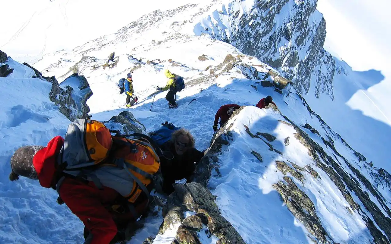
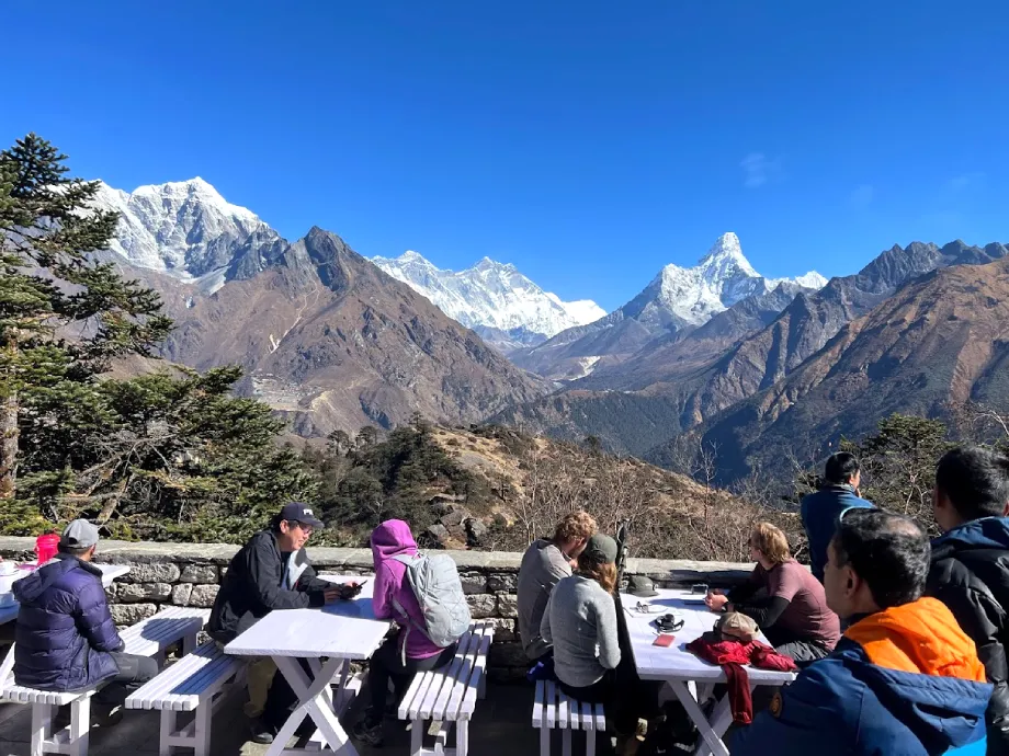
It is an excellent month in September to go sightseeing, hiking, and taking photographs. The hike to Tiger Nest in Paro is again made fun with better views. Punakha Valley is in a beautiful state, and Bumthang opens. The season of trekking begins, and all the trails become dry. The number of tourists rises at the end of the month.
September is a great combination of both culture, scenery, and good weather, which makes it one of the most even seasons to visit Bhutan.
October
October is said to be the best month to visit Bhutan. It is sunny, dry, and clear. The skies are deep blue, and the mountain sceneries are sharp and beautiful. The weather is pleasant by day and cool by night. Rain is very rare. During harvest times, the rice fields are golden, and the landscape appears to be bright and cheery.
This is the month of many significant festivals. Jambay Lhakhang Drup and fire ceremony are held in Bumthang. Smaller festivals take place at such places as Gangtey and eastern Bhutan. The events demonstrate the rich spiritual practices of Bhutan through music, masked dances and rituals.
Travelling is convenient to all parts of the country. Excellent activities are hiking, trekking, cycling, and sightseeing. Tiger Nest, high mountain passes, and Punakha Dzong are beautiful. Hiking trails are in ideal conditions. Tourists are also present during October, and therefore, prior planning is very crucial.
The experience is memorable even with an increased number of visitors. The month of October is the perfect combination of ideal weather, clear sightseeing, vibrant culture, and outdoor adventure.
November
The month of November is the continuation of the season of autumn; this period is cool, dry and sunny. Days are good, mornings and nights are colder, particularly in Thimphu and Paro. The skies are extremely clear and provide spectacular Himalayan scenery. Rain is rare. Harvests are done, and landscapes appear to be peaceful and transparent.
One of the special occasions is the Black-Necked Crane Festival in Phobjikha Valley on November 11. The children of the schools and village people dance the crane dance to attract the rare birds that come to this country in the winter. It is a festive occasion that is nature-oriented and conservation-oriented. There are also some regional festivals held in eastern Bhutan.
Sightseeing and photography are good. Phobjikha Valley is serene and scenic. Paro and Thimphu are not as crowded as they are in October. Day hikes and walks in nature are great, and camping is not very pleasant at night.
November is ideal as a vacation destination when people prefer to see clear mountain views, cultural sites, and fewertourists before the winter season sets in.
December
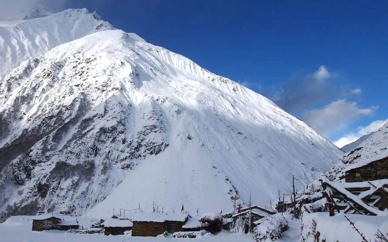
In Bhutan, winter begins in December. The weather gets cold, particularly during the night, but days are frequently dry and sunny. During the day, cities such as Thimphu and Paro are approximately 11-15 °C in temperature, and the daytime temperatures usually drop below the freezing point.
Places further up, such as Bumthang, are considerably colder in the morning. In thelower valleys, such as Punakha, the days will remain pleasant at 20 °C. The sky is extremely clear, and the mountain scenery is as sharp as possible in the year. The days are not long, and therefore, there is less time to sightsee.
There are significant events in December. On December 13 the Dochula Druk Wangyel Festival, mask dances are performed by the soldiers at one of the high mountain passes. The Bhutan National Day takes place on December 17 and is followed by parades and celebrations. The Trongsa Tschechu is also held at the end of December.
The month is quiet and has very few tourists. Punakha is a better place to stay during warmer seasons. It is not impossible to have the Tiger Nest hike in Paro, provided that you wear warm clothing. Wildlife trips are also good in Southern Bhutan.
Tourists need to be prepared for cold weather, short days, and the snow on mountain roads.
What is the Best Time to Visit Bhutan?
Autumn (September to November) and spring (March to May) are the most appropriate seasons to visit Bhutan. These are the best seasons because they present the best weather, clear skies, and comfortable weather conditions that would make sightseeing, trekking, and exploring cultures easy.
The spring is particularly beautiful because valleys and hillsides are filled with flowering rhododendrons, magnolias and wildflowers. It is not hot, and those who love nature will see colourful scenery and various active birds. It is also a very good time to make short hikes and participate in outdoor activities.
The season of autumn is regarded as the most important travel season. The clouds are bright and clear, with a beautiful view of the Himalayas, with snow-white peaks. The most significant festivals in Bhutan, like Thimphu Tshechu and Paro Tshechu, are held during this period, and visitors have the opportunity to witness the traditional music, dance and rituals.
During winter, it is cold and quiet, and during summer, there is monsoon rainfall, so it is not so easy to get anywhere.
Conclusion
In conclusion, the time to visit Bhutan is indeed up to you and what experience you want to get. The Himalayan country is a serene place that has something to give in all seasons. The spring can be described with flowers, warm weather, and the fall can be characterisedby the view of the clear mountains and colourful festivals. These are the most popular months since the conditions of the travel are good, and nature is at its best.
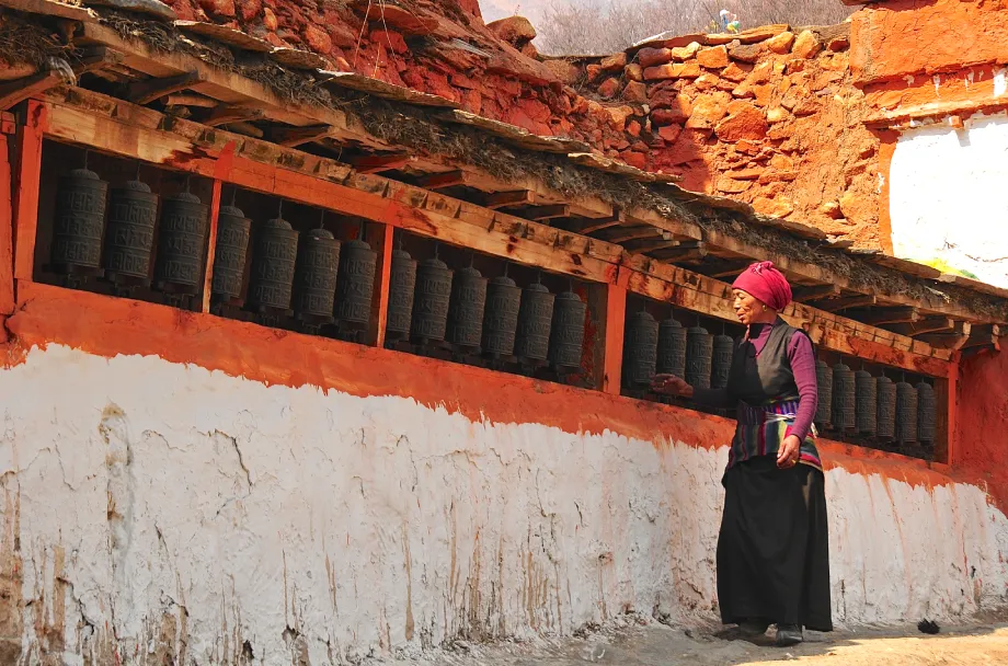
The rainy summer season makes Bhutan greener and much quieter, and thus it is a good destination for the traveller who is fond of an ambience of peace and less congestion. It is cold in the winter but offers good, clear skies, mountain scenery, and cultural shows, which are rare in other seasons, particularly in the lower valleys where the climatic conditions are milder. Every month is beautiful, with its festival parties and quiet village life.
Knowing the weather of every month, festivals, and travelling conditions, you can organise a trip that suits you best: want to go trekking, take photos, explore the culture, or just relax in nature. Bhutan is not a place to visit only one season; it is a full year-long unforgettable experience with exotic nature, religious heritage, and homeland hospitality.